
LAND SURVEY (sometimes called cadastral or property surveys) are conducted to establish the exact location, boundaries, or subdivision of a tract of land in any specified area. This type of survey requires professional registration in all states. Presently, land surveys generally consist of the following chores:
Establishing markers or monuments to define and thereby preserve the boundaries of land belonging to a private concern, a corporation, or the government
Rerunning old land survey lines to deter- mine their lengths and directions. As a result of the high cost of land, old lines are remeasured to get more precise measurements
Calculating areas, distances, and directions and preparing the land map to portray the survey data so that it can be used as a permanent record.
Writing a technical description for deeds.
BACIS SERVICES
Cadastral Survey
GPS, RTK, DGPS Survey
Final Location Survey
Contour Survey
Drawing Digitization
CONSTRUCTION SERVICES
Engineering Survey
Pipeline Survey
Topographical Survey
Land Survey
OTHER SERVICES
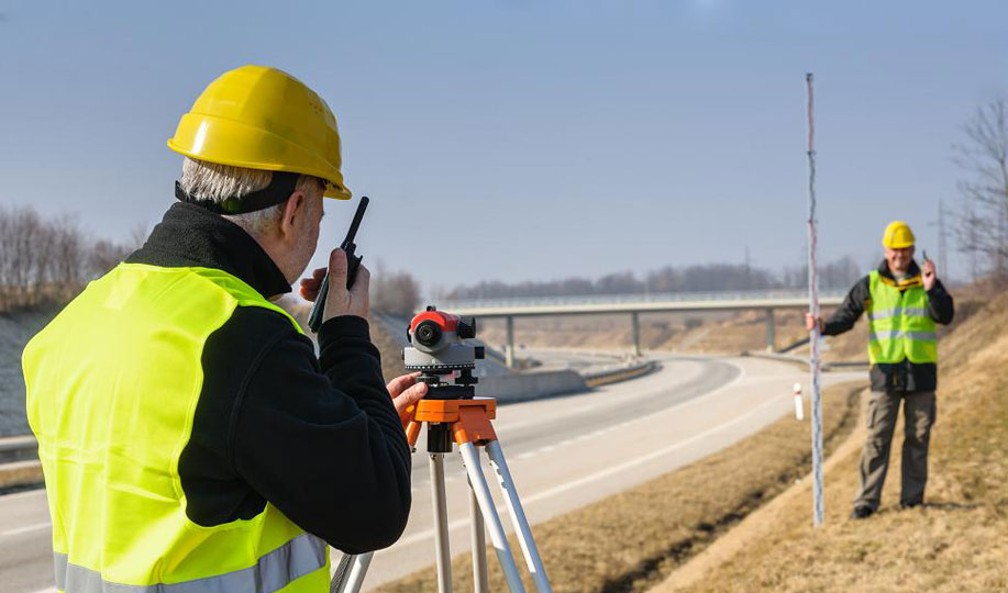
Road Survey
Railway Survey
Airport Road Survey
Dam Survey
Bridge Survey
Hill Survey
River Survey